Authority awards $6 million for Restoration of the San Francisco Bay
July 3, 2026
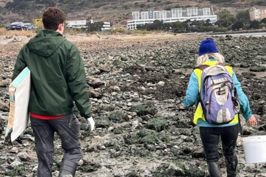
Two new projects and two augmentations
At its March and June Board meetings, the Governing Board of the San Francisco Bay Restoration Authority authorized four grants, totaling over $6 million for restoration, flood control, and public access at the bay shoreline.
The projects were:
New Projects
- Napa River Estuary Enhancement and Public Access Project
- $600,000 to the Napa County Flood Control and Water Conservation District to conduct outreach and prepare designs, environmental documentation, and permit applications for the Napa River Estuary Enhancement and Public Access Project, consisting of restoring 46 acres of tidal wetlands, converting an unused barn to an interpretative center, and redeveloping an existing levee to serve as a pedestrian trail located in the Napa River estuary south of the City of Napa’s urbanized limit in Napa County.
-
Brisbane Living Shoreline Project
- $962,500 to the San Mateo County Flood and Sea Level Rise Resiliency District (OneShoreline) to undertake the Brisbane Living Shoreline Project, consisting of collecting baseline ecological and physical data, preparing 30% designs and environmental review documentation, conducting regulatory engagement and community engagement, and preparing draft permit applications for restoration of eelgrass and native oyster habitat along approximately 1.5 miles of the Brisbane shoreline in San Mateo County.
Augmented Projects
- McInnis and Bayfront Marshes Beneficial Dredge Sediment Reuse and Tidal Wetlands Restoration Planning Project
- $640,000 to the County of Marin to augment the Authority grant of $1,300,000, authorized on June 6, 2025, to undertake the McInnis and Bayfront Marshes Beneficial Dredge Sediment Reuse and Tidal Wetlands Restoration Planning Project and to revise the project to include analysis of an innovative, nature-based alternative to traditional dredging that would not reverse subsidence on 140 acres but would instead result in additional sediment reaching the outer Bayfront marshes of Gallinas Creek.
-
- $3,850,000 to the San Francisquito Creek Joint Powers Authority to obtain permits for the entire seven-mile Strategy to Advance Flood Protection, Ecosystems, and Recreation along San Francisco Bay (SAFER Bay) project and to conduct technical studies and prepare final designs for the restoration of 568 acres of tidal marsh, enhancement of 436 acres of managed ponds, and construction of levees, for the four managed ponds that are part of the SAFER Bay project in San Mateo County.
